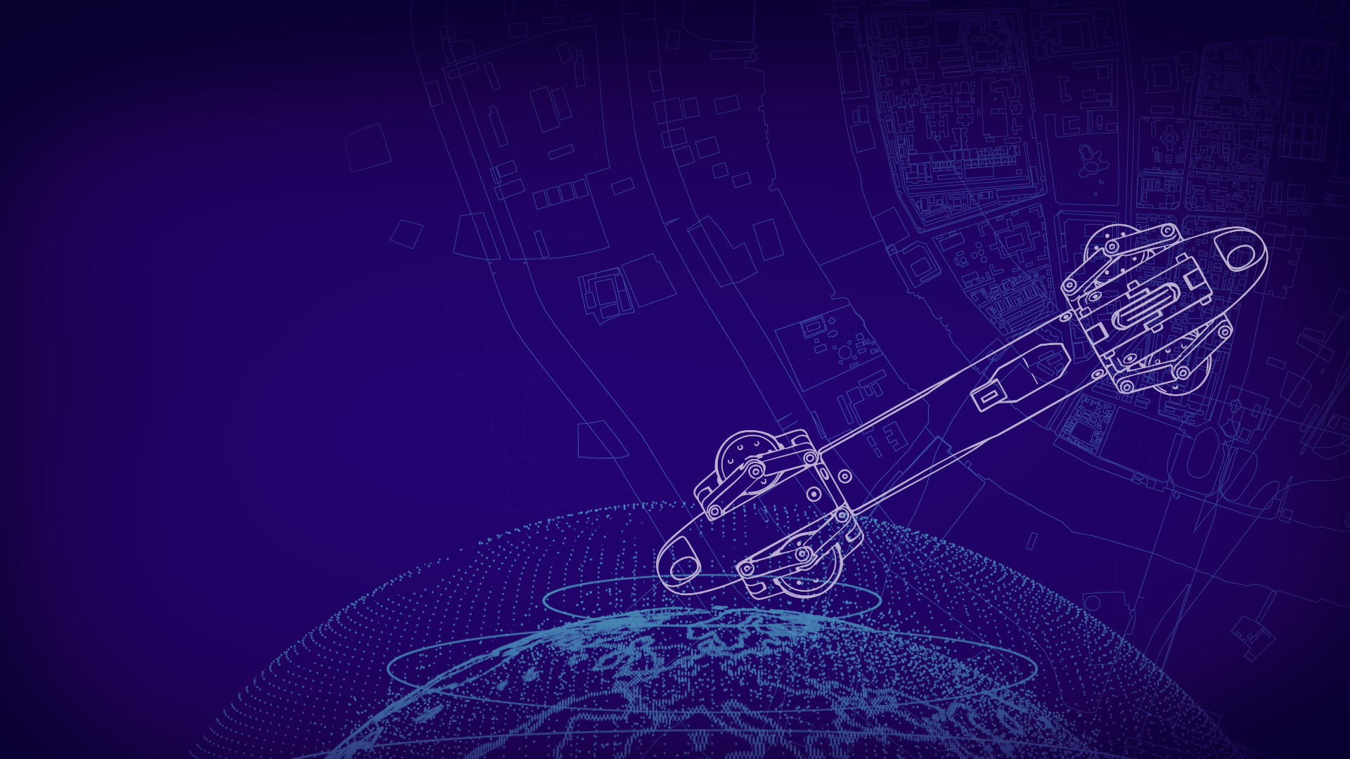
INTELLIGENT MAPPING™ SYSTEMS
FEWER SURPRISES, FASTER DEPLOYMENT,
LESS INTERRUPTIONS


Mapping the Foundation of Connectivity

01
This is a telecommunications network—a complex system of fiber, conduit, and critical infrastructure that connects people and powers innovation.

02
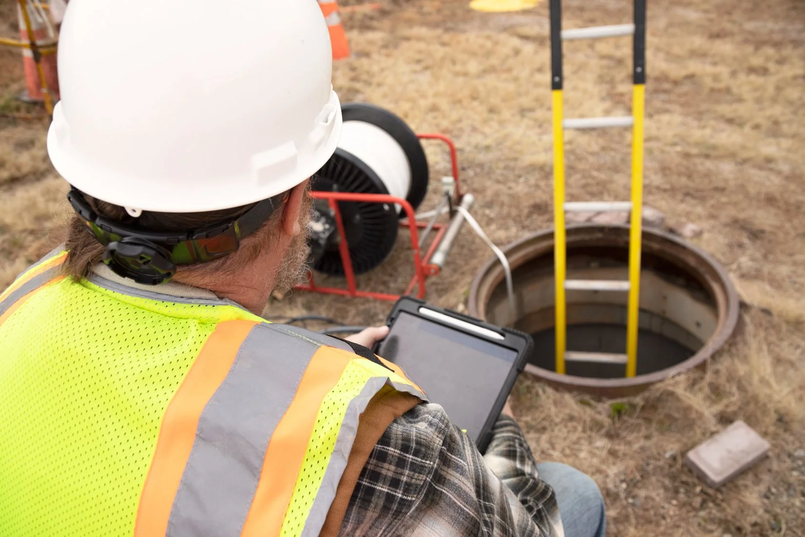
Beneath every street, field, and data center lies a web of underground assets that keep our communications system online. Network reliability depends on precision below the surface as much as it does above.
03
Intelligent Mapping™ protects critical fiber infrastructure by giving telecom teams clear visibility underground—enabling them to plan, deploy, and maintain networks safely, efficiently, and with confidence.
THE CHALLENGE
TELECOM NETWORKS ARE ENGINEERED FOR RELIABILITY. THAT PRECISION MUST EXTEND BELOW GROUND.
Beneath every street lies critical fiber and conduit powering reliable networks. Without accurate mapping, fiber strikes, costly delays, and service disruptions follow.
WHY MAPPING MATTERS
MAPPING DELIVERS CERTAINTY AND RELIABILITY.
Incomplete or inaccurate underground records leave operators and contractors blind to what’s below. Verified as-built data restores visibility, control, and confidence for every build or upgrade.
INTELLIGENT MAPPING™

INTRODUCING
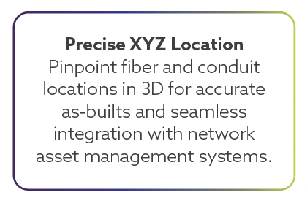
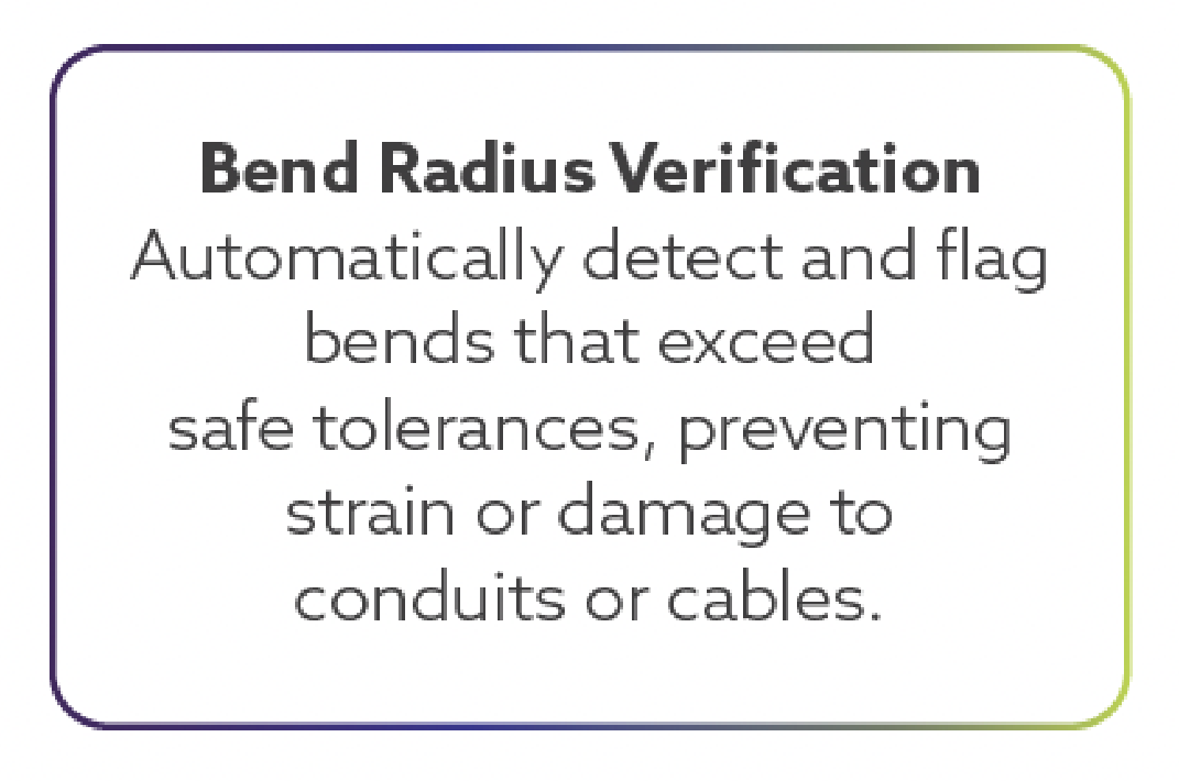
Intelligent Mapping™ is a technology innovator solving the challenges of underground asset mapping. Our system brings automation and data integrity to every stage of network verification—from audits and inspections to new builds and relocations. It records precise geometry, bend radius, and conduit location in real time, producing a verified digital record for GIS, CAD, and network asset management systems.
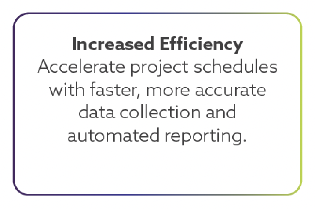
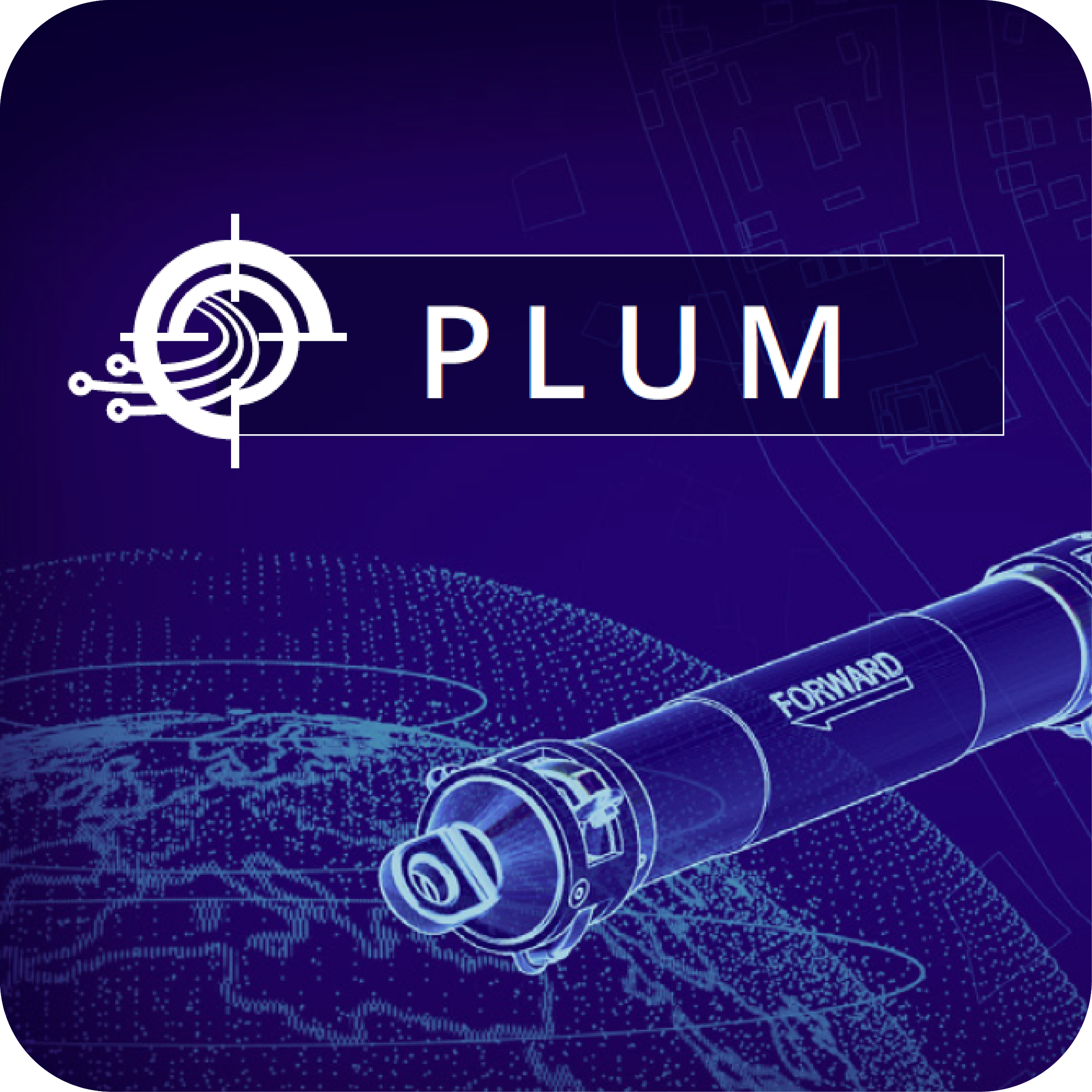
PRECISION MAPPING IN MINUTES, NOT WEEKS
THE PLUM™
The PLUM™ (Precision Line Utility Mapping) devices and proprietary software support the creation of survey-grade 3D maps of underground systems. Designed to adapt across a wide range of conduit environments, the PLUM™ platform delivers comprehensive coverage without the need for multiple tools. In a single pass through the conduit, each device captures over 200 data points per second, processes the information in real time, and produces a verified as-built map in under five minutes.
PLUM™: FEATURES THAT MATTER MOST