INTELLIGENT MAPPING™ SYSTEMS
FEWER SURPRISES, FASTER DEPLOYMENT,
LOWER RISKS


Mapping the Foundation for Safer, Smarter Transportation Networks

01
This is a transportation network, a complex system of roads, bridges, and highways that moves people and goods safely and efficiently.

02
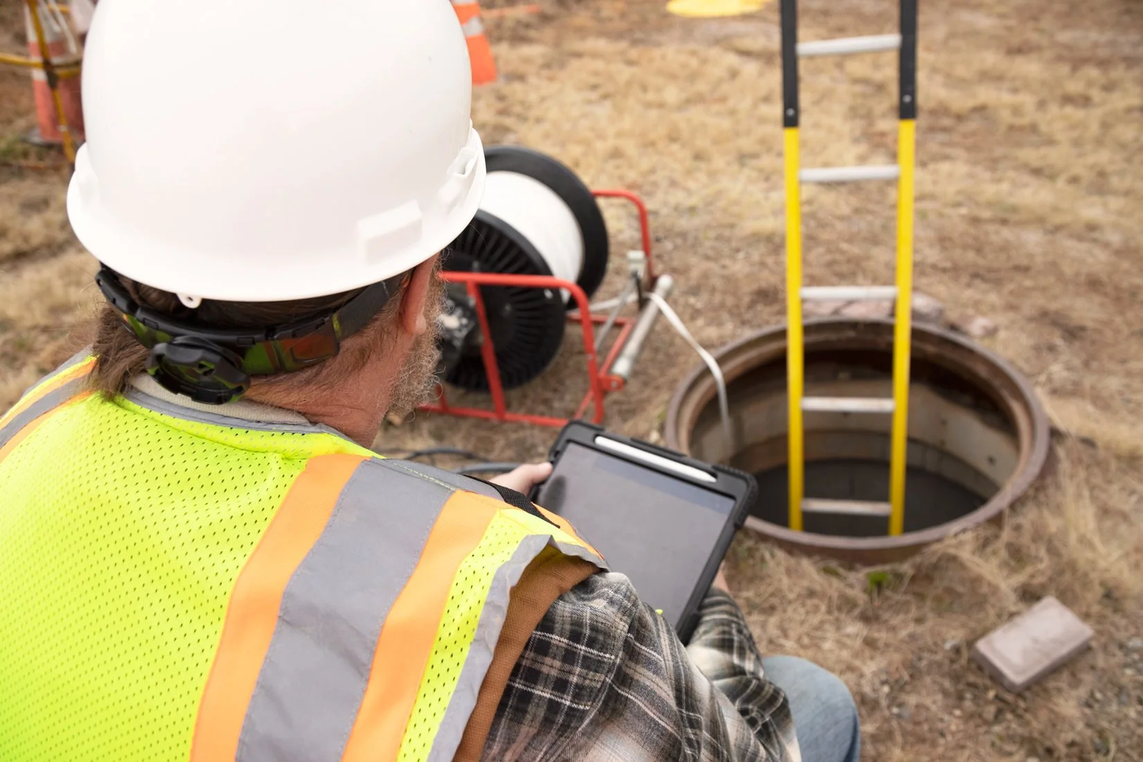
Beneath every roadway lies a network of critical utilities—power, fiber, water, gas, and conduit—that keep the system operational. Transportation networks are engineered for reliability, and that precision must extend below ground.
03
Intelligent Mapping™ helps Departments of Transportation map underground assets accurately to gain control, visibility, and confidence—reducing the risk of utility strikes, costly rework, project delays, and public safety issues.
THE CHALLENGE
TRANSPORTATION NETWORKS ARE ENGINEERED FOR RELIABILITY. THAT PRECISION MUST EXTEND BELOW GROUND.
Beneath every roadway lies a network of critical utilities that keeps the system running safely and on schedule. When underground assets aren’t accurately mapped, DOTs face unexpected utility conflicts, schedule delays, and increased risk to public safety.
WHY MAPPING MATTERS
MAPPING REDUCES RISK AND PROTECTS INVESTMENT.
Most underground utility records are incomplete or inaccurate, leaving DOTs blind to what’s beneath the surface. With verified as-built data, agencies gain control, visibility, and confidence—before any construction, maintenance, or upgrades begin. Mapping isn’t just about avoiding mistakes; it’s about measurable savings, reliable operations, and long-term infrastructure confidence.
INTRODUCING
INTELLIGENT MAPPING™

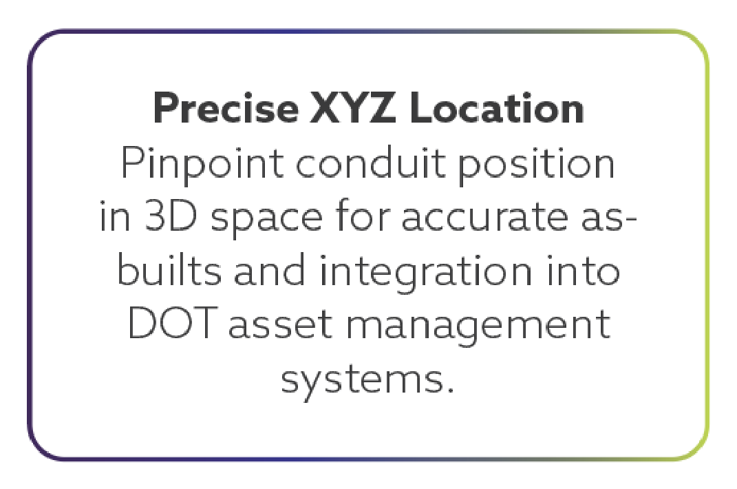
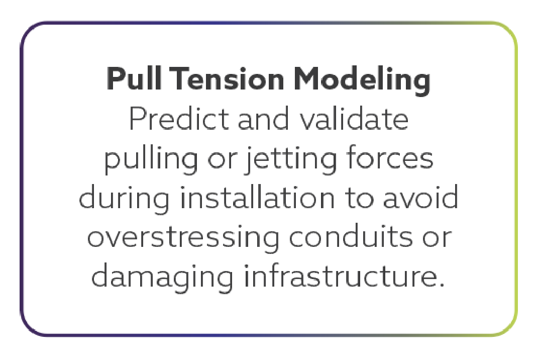
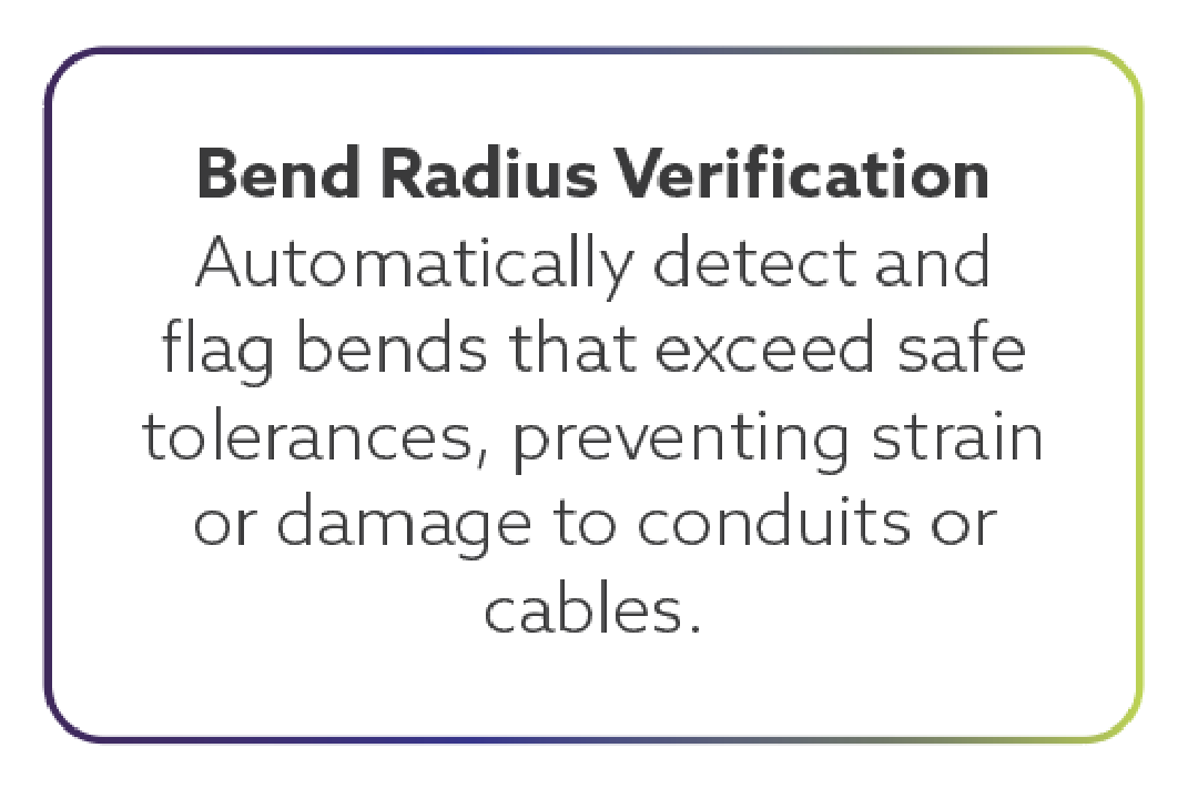
Intelligent Mapping™ is a technology innovator solving the challenges of underground asset mapping. Our system brings automation and data integrity to every stage of utility verification—from audits and inspections to upgrades and relocations. The system records precise geometry, bend radius, pull/jetting forces, and conduit location in real time, producing a verified digital record for GIS, CAD, and DOT asset management systems.
PRECISION MAPPING IN MINUTES, NOT WEEKS
THE PLUM™
PLUM™ (Precision Line Utility Mapping) and proprietary software allow for the creation of survey-grade 3D maps of underground systems. With one pass through the conduit, the device collects 200+ data points per second, analyzes the data instantly, and delivers an as-built map within five minutes.
PLUM™: FEATURES THAT MATTER MOST