INTELLIGENT MAPPING™ SYSTEMS
FEWER SURPRISES, FASTER DEPLOYMENT,
LOWER COSTS


Mapping the Foundation of Data Center Performance

01
This is a data center, a sophisticated infrastructure integrating energy, water, electricity, and fiber networks, where quality control is essential to delivering reliable performance at scale.

02
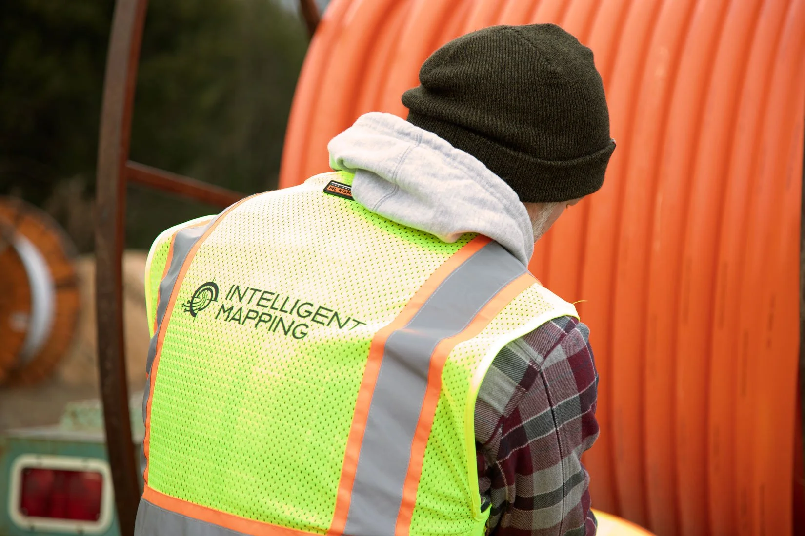
Beneath the surface, underground networks carry power and fiber that connect every system inside the facility. Data centers are engineered for perfection, and that level of quality control has to extend below ground.

03
Intelligent Mapping™ helps data centers verify underground assets to maintain control, visibility, and confidence—reducing the risk of downtime, rework, and unnecessary costs.
THE CHALLENGE
DATA CENTERS ARE ENGINEERED FOR PERFECTION. THAT QUALITY MUST EXTEND BELOW GROUND.
Beneath the surface, power and fiber networks connect every system in the facility. Without verified underground documentation, gaps in quality control can lead to downtime, rework, and unnecessary costs.
WHY MAPPING MATTERS
MAPPING REDUCES RISK AND INCREASES QUALITY.
Incomplete or inaccurate underground data can compromise quality control and lead to costly errors. Verified as-built information gives owners confidence, control, and visibility over their infrastructure before fiber is ever installed.
INTRODUCING
INTELLIGENT MAPPING™

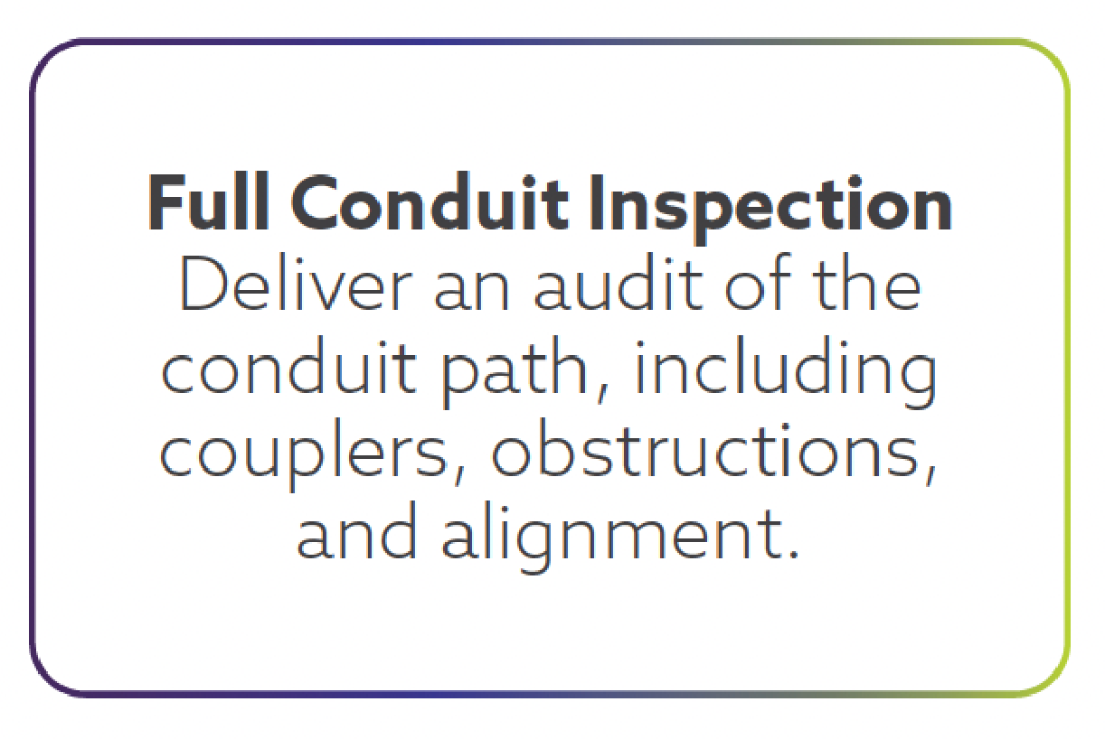
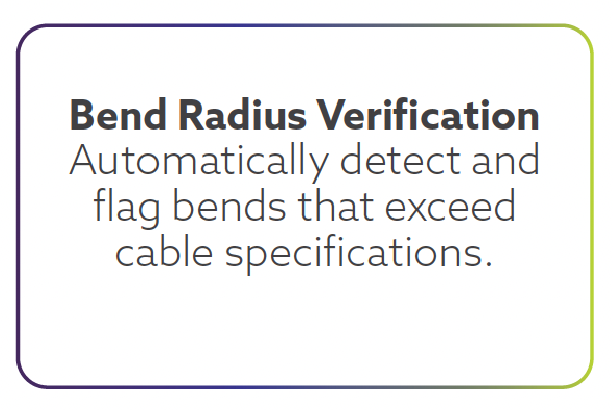
Intelligent Mapping™ is a technology innovator focused on solving the challenges of underground asset mapping. Our systems bring automation and data integrity to the final stage of fiber installation—the conduit and cable installation itself. The system records geometry, bend radius, and forces in real time, producing a verified digital as-built record immediately after installation.
PRECISION MAPPING IN MINUTES, NOT WEEKS
PLUM™
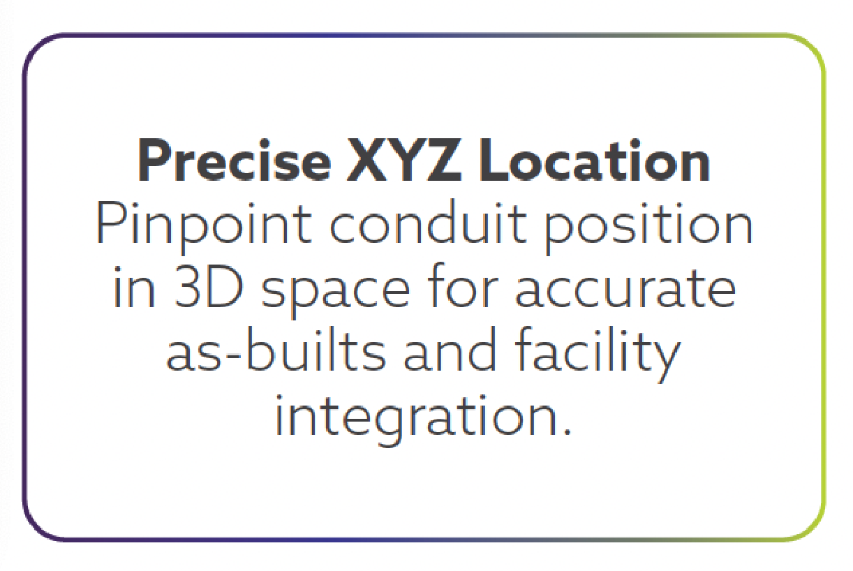
PLUM™ (Precision Line Utility Mapping) and proprietary software allow for the creation of survey-grade 3D maps of underground systems. With one pass through the conduit, you can collect 200+ data points per second, analyze the data instantly, and receive an as-built map within five minutes.
PLUM™ IN ACTION: FEATURES THAT MATTER MOST